Geophysical & Biophysical Environment
Location & Land Area
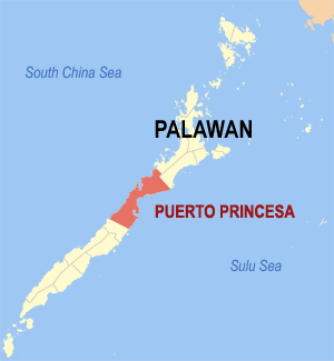
The City of Puerto Princesa is located 306 nautical miles southwest of Manila, 205 nautical miles from Panay and about 250 nautical miles from Zamboanga. It is bounded on the North by the Municipality of San Vicente and Roxas and on the South by the Municipality of Aborlan. Its western side faces the South China Sea while in its eastern coast lays the Sulu Sea.
Puerto Princesa City has a total land area of 253,982 hectares making it the largest City in the country.
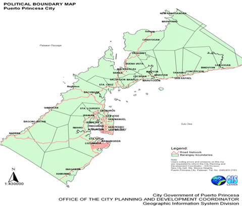
The City is comprised of 35 urban barangays and 31 rural barangays (Table II.1). The total area of the urban barangays is 14,716 hectares or only 5.7941% of the total land area of the City. The largest land area of the City is comprised of the rural barangays with a total area of 239, 266 hectares or 94.2059% of the total land area of the City.
Topography & Slope
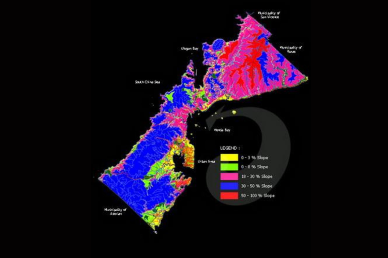
More than half (57.43%) of the total land area of Puerto Princesa City have flat to gentle slopes, making the City an ideal site for urban development and agricultural development (Table II.2). Only about 22% of the total land area of the City has severe limitations for settlements and infrastructure development because of steep slopes (>30%). Moderate slopes of 8-18%, which can also be developed for agriculture and low-density housing comprise 15% of the City’s total land area. However, agriculture and settlements development within this moderate slope range has to adopt soil conservation and slope stabilization measures to avoid soil erosion and landslides, respectively.
Seven (7) barangays have more than 80% of their total land area with flat to nearly level land (0-8% slopes). These barangays are highly suitable for agriculture and urban expansion: Bahile, Binduyan, Concepcion, Langogan, Marufinas, San Rafael and Santa Cruz. Remarkably, Bahile has 98% of its total land area with 0-3% slope.
In contrast, 22 barangays have their entire land area comprised of steep slopes (30-50% slopes). These barangays are better left off with substantial forest cover to maintain their ecological stability and prevent accelerated erosion and massive landslides which could affect downstream settlements, agriculture and coastal fisheries. The 22 barangays sitting on critical slopes are: Bagong Pag-asa, Bagong Silang, Kalipay, Liwanag, Mabuhay, Magkakaibigan, Maligaya, Mandaragat, Manggahan, Maningning, Masigla,Masikap, Masipag, Matahimik, Matiyaga, Maunlad, Milagrosa, Model, Pagkakaisa, Princesa, Seaside, Tagumpay and Tanglaw.
The barangays with the largest area of flat lands (0-3%) include Bahile, Bacungan, Langogan, Napsan, Cabayugan, Marufinas, and Binduyan.
Geology
In the southern portion particularly in the Irawan area, metamorphic rocks of the Inagawan Formation can be found. The area is also partly composed of sedimentary Iwahig Formation, alluvium of unconsolidated gravel, sand, pebbles and silt. Some ultramafic rocks of the Palawan Ophiolite Complex also characterize the area.
The northern part of the City is comprised of ultramafic rocks. In particular, the Langogan area is characterized by metamorphic rocks consisting of quartz-feldspathic and mica schists, phyllites, slate and quartzites. The ultramafic rocks consist of unaltered sepertenized pridotite, dunite and pyrexomite.
Babuyan area is made up of Irahuan Metavolcanics which resemble the quartz-hematite schist in appearance and are also friable and weather into dark reddish gray platy fragments which are usually scattered near outcrops of river beds. St. Paul limestone outcrops as small patches are found in the south and midwestern part of the catchment. It is comprised of a very thick, massive, marbleized limestone with very well developed karst.
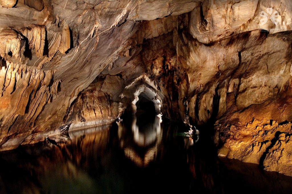
The Puerto Princesa Subterranean River National Park has karsts limestone formation and is popular tourist destination among local and international tourists. The underground river is about 8.2 kilometers in length and has been proclaimed under Proclamation No. 212 as a National Park. The park covers a protected area of 22,202 hectares. It is also included in the list of World Heritage Sites by UNESCO because of its diverse ecosystem and the presence of rare flora and fauna. The site, which is located in Sabang, barangay Cabayugan has also fine white beaches.